|

MORARGIL
N 38º 59, 418' -- W 008º 08, 334'
data is not for navigational purposes
|
Licensed yes
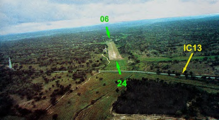
Altitude 355'
Runway Length
810M
Runway direction 06/24
radio 123.45
Location
between Mora and Montargil (5Km
NNE of Mora)Operator
242 904 175 -- 242 904 176 --
242 904 255

|
|